Details of record no: 133538
Dissotis brazzae
Three blocks of information are displayed on this page, namely: (a) details of the record; (b) the record point plotted using Google Maps and (c) any images attached to the record. Please scroll down to see the various items.
Record details:
| Date: | 19 Mar 2022 |
| Recorder(s): | BT Wursten P Ballings E Fischer |
| Collector(s): | |
| Determiner(s): | E Fischer |
| Confirmer(s): | |
| Herbarium: | |
| Habitat: | In roadside depression by open wooded grassy slope. |
| Location: | RN4 before Akagiriro Centre, Gakenke. |
| Location code(s): | |
| Outing code: | |
| Planted code: | Not planted |
| Country: | Rwanda |
| Quarter Degree Square: | 0129D2 |
| Grid reference: | |
| Altitude (metres): | 1655 |
| Notes: | |
| Latitude, Longitude: | -1.659850, 29.829900 |
| Location Accuracy Code: | 7 |
Map of species record
Maps only available to authorised usersImages:
Image: 1
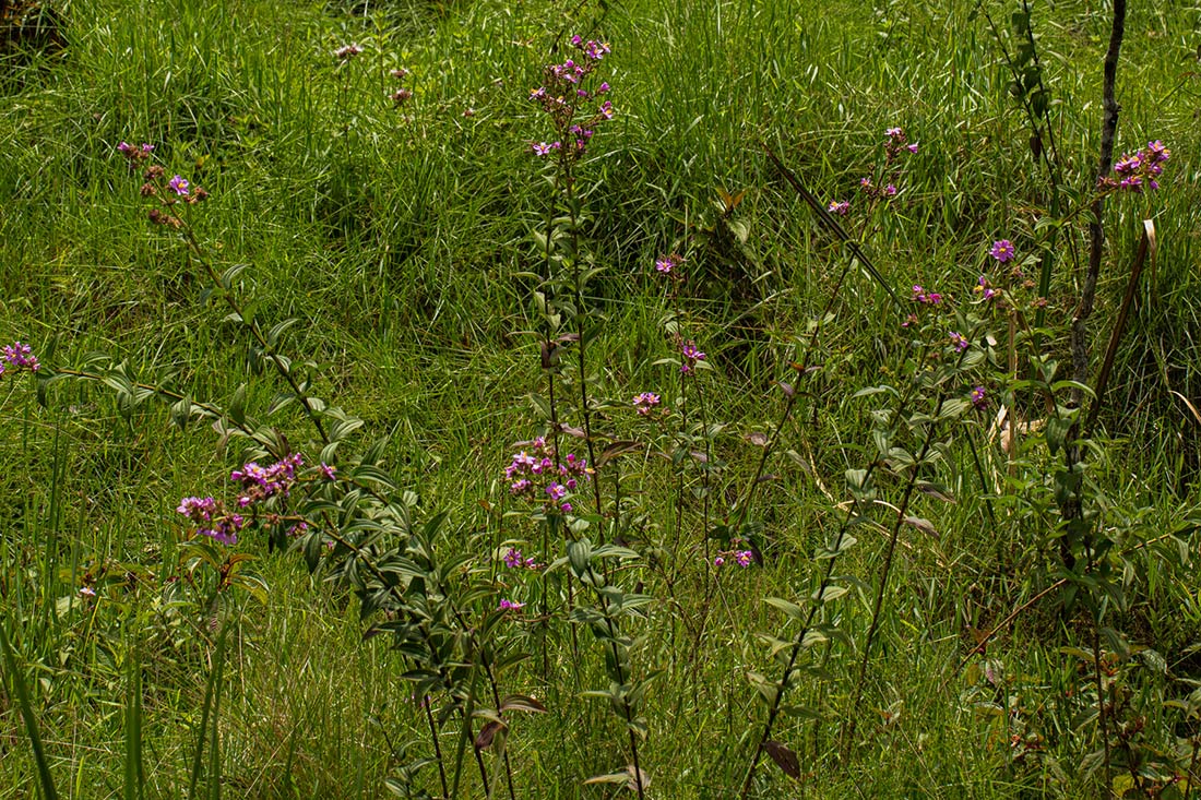
| Species id: | 191800 |
| Image id: | 1 |
| Image number: | 44714 |
| Photographer: | BT Wursten |
Image: 2
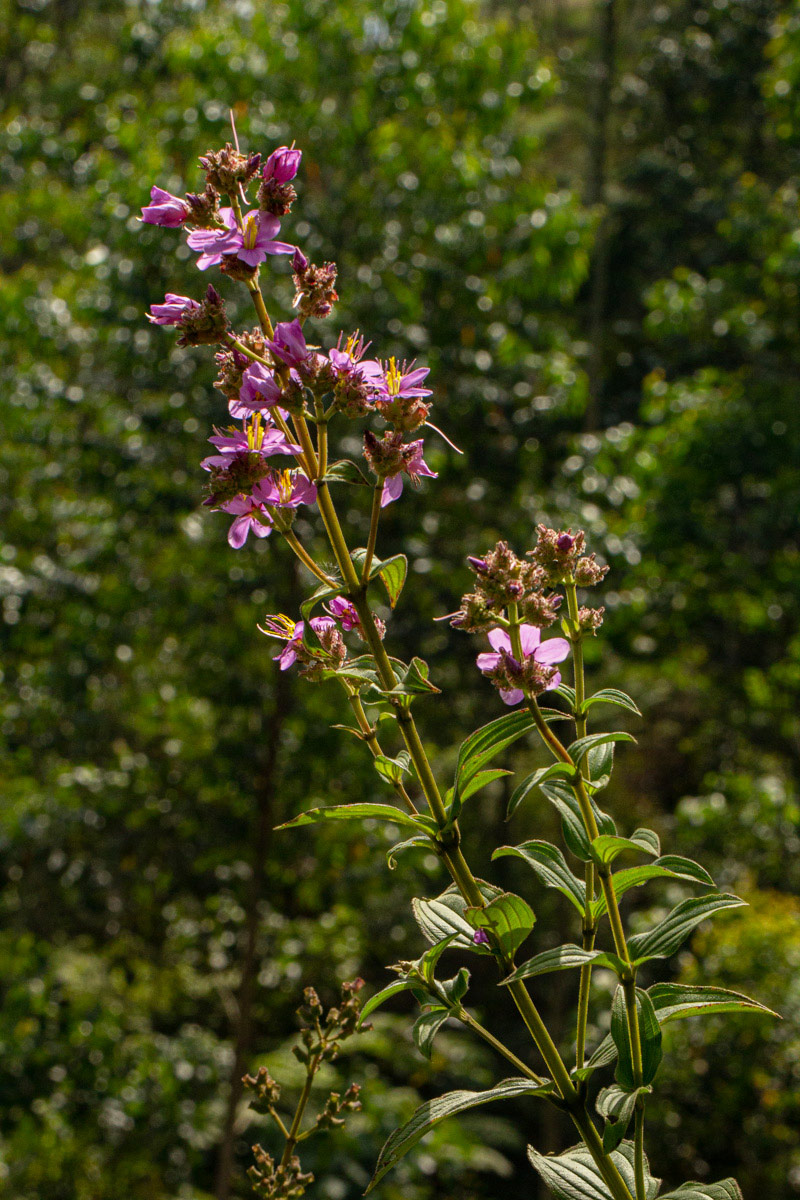
| Species id: | 191800 |
| Image id: | 2 |
| Image number: | 44715 |
| Photographer: | BT Wursten |
Image: 3
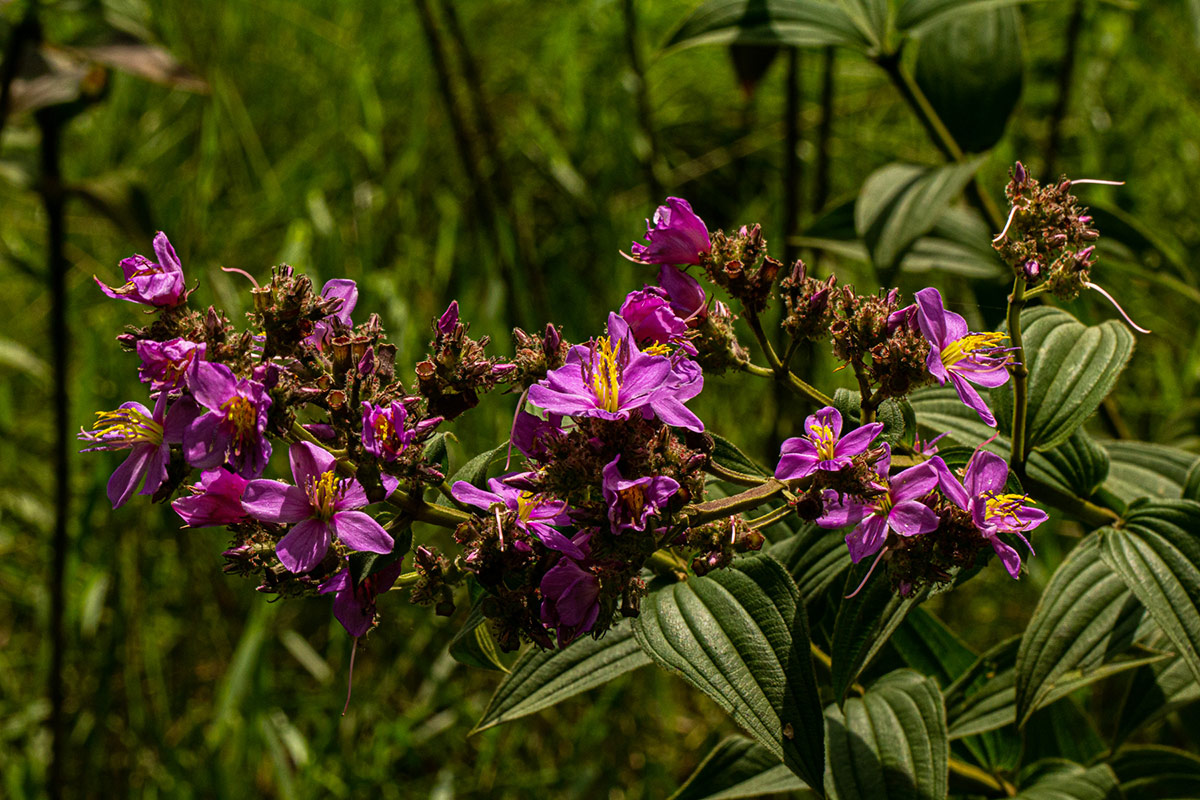
| Species id: | 191800 |
| Image id: | 3 |
| Image number: | 44716 |
| Photographer: | BT Wursten |
Image: 4
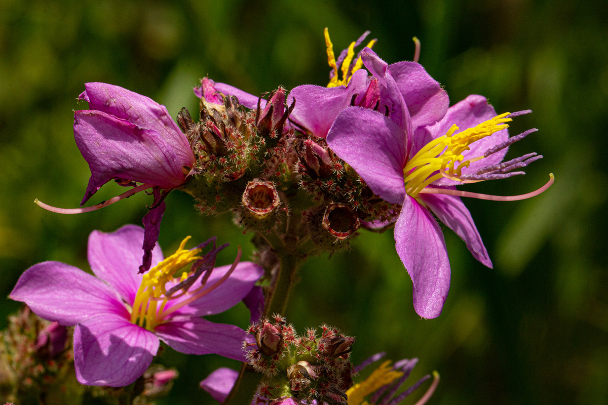
| Species id: | 191800 |
| Image id: | 4 |
| Image number: | 44717 |
| Photographer: | BT Wursten |
Image: 5
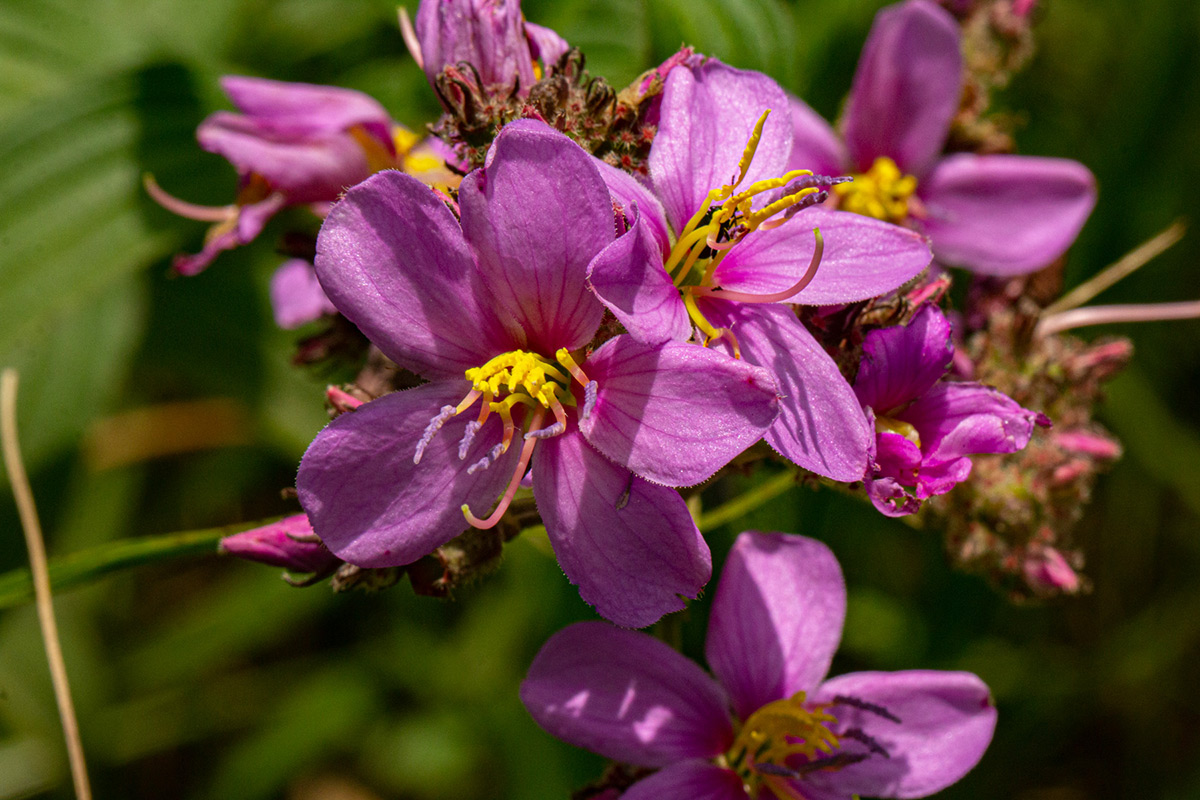
| Species id: | 191800 |
| Image id: | 5 |
| Image number: | 44718 |
| Photographer: | BT Wursten |
Image: 6
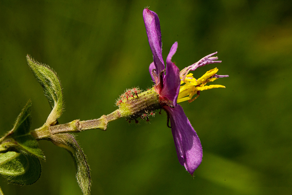
| Species id: | 191800 |
| Image id: | 6 |
| Image number: | 44719 |
| Photographer: | BT Wursten |
Image: 7
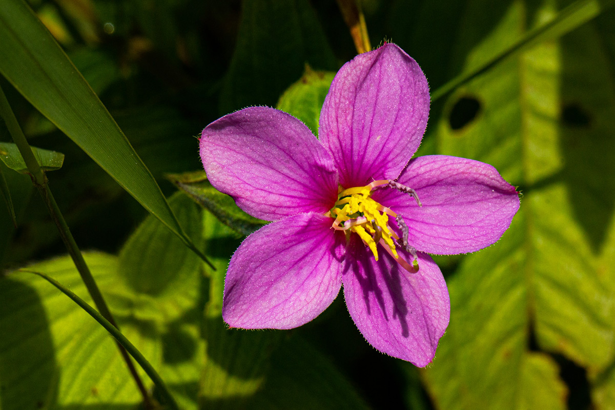
| Species id: | 191800 |
| Image id: | 7 |
| Image number: | 44720 |
| Photographer: | BT Wursten |